
Viewing: 1-1 of 1

FlyingZebra34 - Sep 10, 2014 12:59 am - Voted 7/10
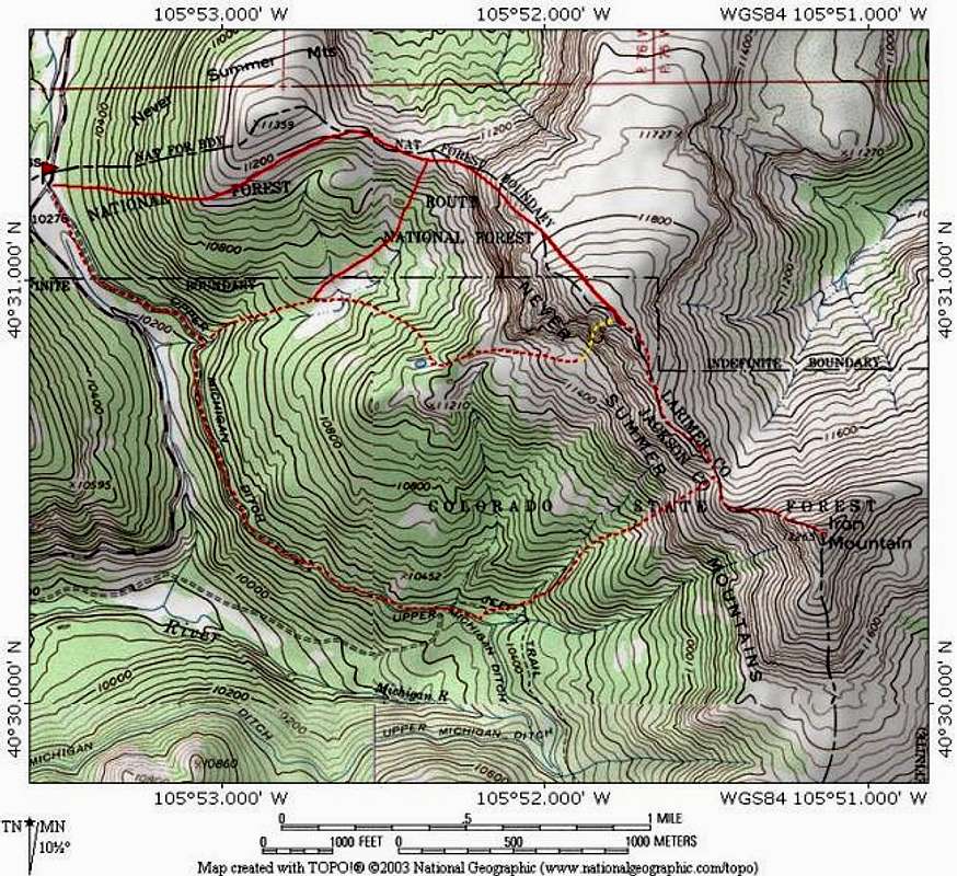
Personal ExperienceI parked in the lot on the north side of the 14 in Cameron Pass, I proceeded to hike by the irrigation channel that you can spot from the road heading south. I went up the trail towards Snow Lake and hoped on the ridge at Thunder Pass. From there I proceeded to Lulu, then Thunder, then Iron, then Table Iron. From there headed north to the hill with little to no trees, then I cut through the woods back down to the parking lot.
These woods are pretty dense and on steep hills. You will find a bunch of scree fields and loose rock.
Plenty of moose, deer, elk, and sheep. I found several skeletons of different cervidae. Left overs from bears maybe?
I made this climb on Sept 8th with minimal snow.
Viewing: 1-1 of 1


Comments
Post a Comment