All three of these routes are...

All three of these routes are...

All three of these routes are in Roach's 14er book on page 92. All three routes start at the Black Cloud TH off of Hwy 82 down in the valley of this photo. Photo taken from Rinker Peak
  • Red-10.3 in Roach's book. Southeast Ridge Route. 10 miles & 5,250-ft
  • Blue-3V1 in Roach's book. 9.6 miles & 4,800-ft.
  • Yellow--3V2 in Roach's book. 10 miles 5,640-ft. This route ascends Bull Hill first-then heads NE to Elbert.
  • Green dot is South Elbert-14,134-ft
  • Pink dot is Mount Elbert-14,433-ft Monitor Gulch on the left.
  • Kane
    on Aug 13, 2003 1:12 pm
    Image ID: 25190

    Comments

    Post a Comment
    Viewing: 1-1 of 1

    robbjh - Sep 5, 2006 4:38 am - Hasn't voted
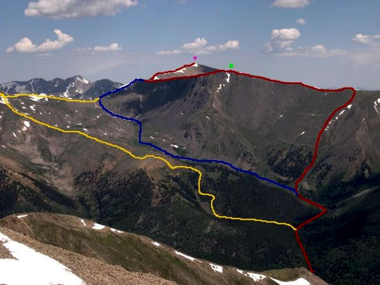
    Challenging trail

    My son and I took the red route back in 2002 up to the top and it was a real tail kicker! Good challenging route. Based on the trail log only about 20 percent make it to the top via Black Cloud especially the route we took.

    Viewing: 1-1 of 1