

Viewing: 1-2 of 2

mpbro - Jul 16, 2002 8:37 am - Hasn't voted
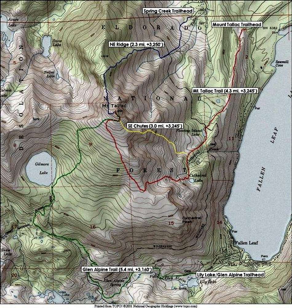
Good workI'll delete my (erroneous) TOPO! map of the similar area.
-Morgan

steeleman - Jul 16, 2002 10:35 am - Hasn't voted
Re: Good workhilarious! i was just going to email you about this :-)
i put this together last night, based (of course) on your map, but moved the main Tallac trailhead to its "rightful" position. That said, I think you can use the spring creek trailhead to get up to Cathedral Lake, but it is discouraged for two reasons: (i) limited parking (works ok for winter, but not the summer crowds); and (ii) no kiosk for self-issue deso wilderness permits.
i also fixed the links on the SE chutes page and made some other tweaks to the page.
ski stuff will come soon.
p.s. Note that my map was voted a whopping two stars!! :-)
Viewing: 1-2 of 2


Comments
Post a Comment