
|
|
Area/Range |
|---|---|
|
|
38.45778°N / 109.82167°W |
|
|
6000 ft / 1829 m |
|
|
Overview
Like its most famous progeny The Grand Canyon hundreds of miles downstream, Canyonlands National Park is not a "mountain" but it sure does qualify as an "inverse mountain".The canyons of Utah are the undisputed symbols of the American West. These strange and alien lands inspire the spirit of discovery and pioneering. Their harsh climate parallels the brutal history of the west and their stunning beauty reflects love and endurance in the face of overwhelming odds.
Canyonlands National Park preserves a portion of the canyons created by the Colorado and Green Rivers in eastern Utah. The park consists of three separate districts: Island in the Sky, The Needles and The Maze. This page is dedicated to the Island in the Sky district only.
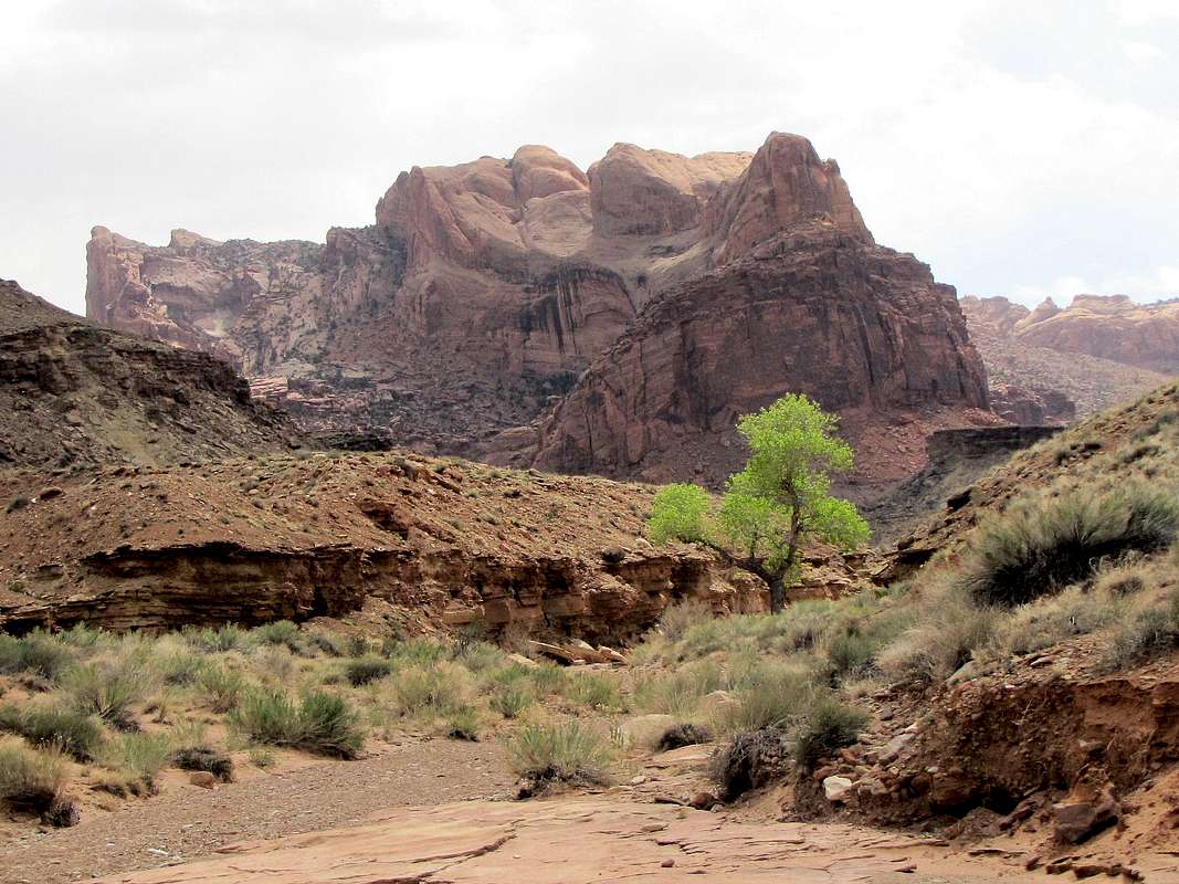
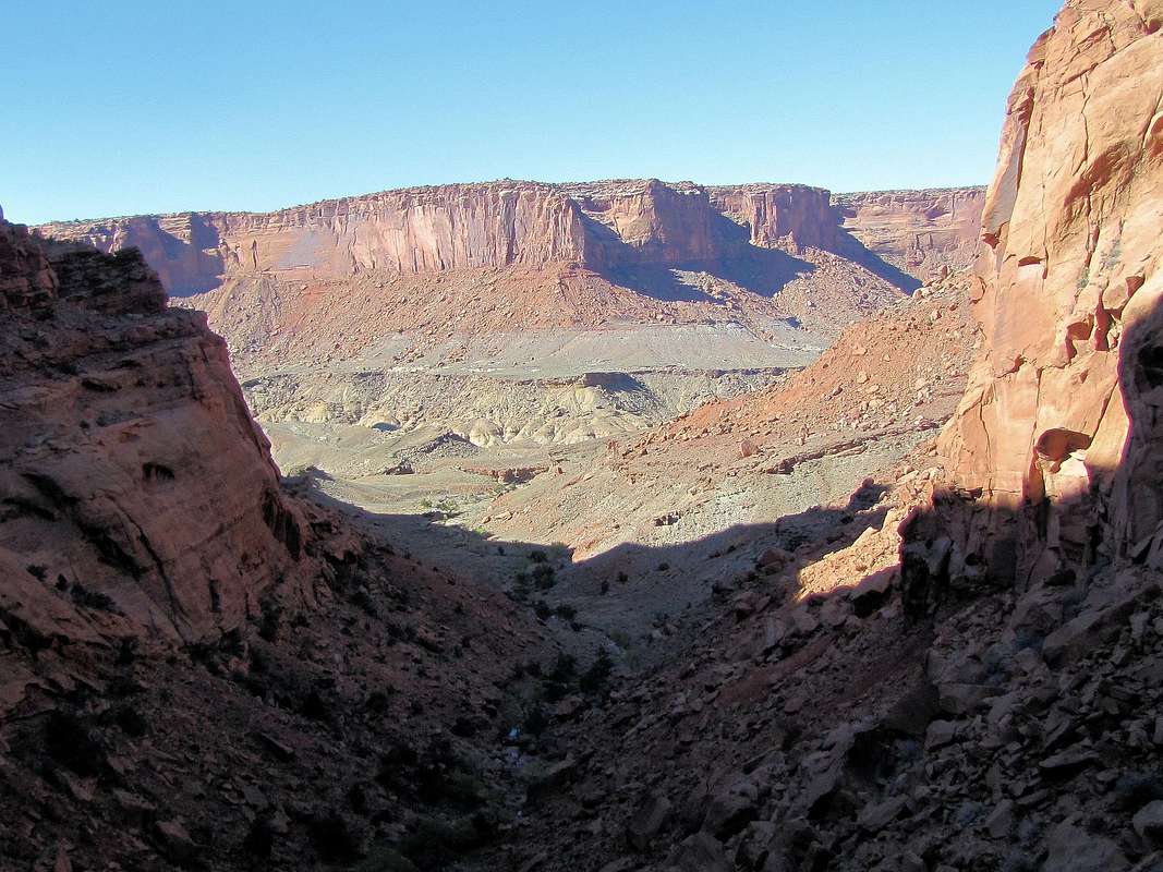
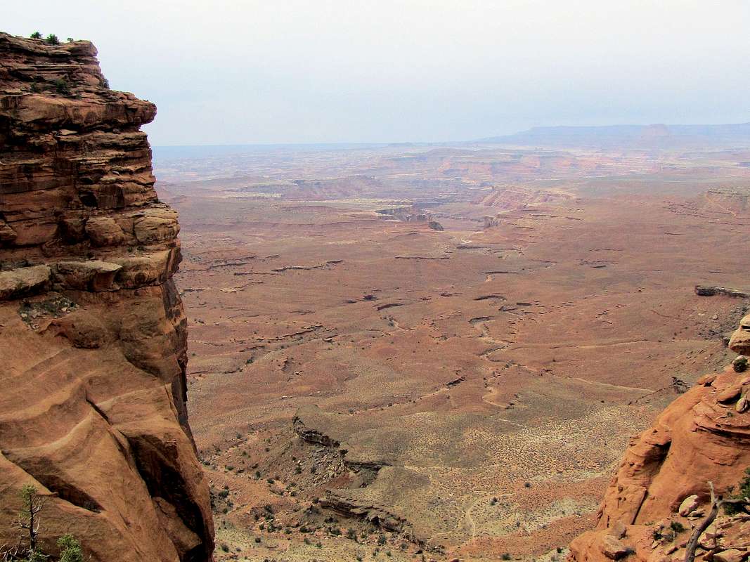
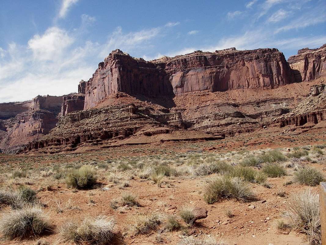
Island in the Sky refers to a flat-top mesa that rises to 6000 ft above the canyons of the Colorado River to the east and Green River to the west. These two meandering rivers flow at an elevation of 4000 ft and approach each other from the north like the arms of a giant "V". The mesa runs north-south and is long and narrow (12 miles long from the park entrance to the north to the southern tip of the mesa and averaging less than 0.5 miles wide with a maximum width of 2 miles at Grays Pasture and a minimum width of only 40 feet at The Neck). Half way along the length of the mesa a four mile long branch spurs to the northwest. Except for the north, the mesa is surrounded by a continuous band of cliffs that drop 1000 ft to a lower plateau. The lower plateau is carved by hundreds of large and small canyons that lead to the Colorado and Green Rivers. From the edge of the mesa, one can barely see occasional bends of the rivers at the bottom of the complex maze of the canyons. The surface of the mesa is covered with a sparse growth of Juniper trees, small cacti and other interesting-looking small desert plants (Pic 1, Pic 2, Pic 3). The lower plateau and the canyons seem to be void of vegetation. The entire area is colored in different shades of red, yellow and orange creating an eerie Mars-like landscape. Three small mountain ranges tower above the canyons in the eastern, southeastern and southwestern horizons. These include: The La Sals (highest point 12721 ft), The Abajos (highest point 11360 ft) and The Henry Mountains (highest point 11522 ft)
A 12 mile long paved road goes from the park entrance in the north to near the southern tip of the mesa giving access to trailheads and designated observation points. As you travel the road, you sequentailly go through some of the better known spots as follows:
a) At SHAFER CANYON OVERLOOK (Pic 1, Pic 2, Pic 3) you will have your first look into the canyons of the Colorado River.
 La Sal Mountains from Shafer Canyon Overlook La Sal Mountains from Shafer Canyon Overlook |
b) At THE NECK the mesa becomes only 40 feet wide. You can see the canyons of the Colorado River to the east and the canyons of the Green River to the west. If this area washes away, the rest of the mesa will loose its only access route and become a true "Island in the Sky".
c) At GRAYS PASTURE the mesa attains its maximum width of 2 miles. This area resembles a flat plain covered with small thorny desert bushes. If you were to be brought here blind folded, you would never guess that you were on top of a mesa far above canyons on both sides.
d) At MESA ARCH (Pic 1) a 0.5 mile long loop trail takes you to an arch right on the edge of the mesa. You can get great views of the canyons and the La Sal Mountains through the openning of the arch.
e) At CANDLESTICK TOWER OVERLOOK (Pic 1) you will get to see the canyons of the Green River. Candlestick Tower rises to 5865 ft above the lower plateau.
f) At BUCK CANYON OVERLOOK (Pic 1, Pic 2, Pic 3) the south fork of Buck Canyon appears as a huge trench dug into the lower plateau.
g) At WHITE RIM OVERLOOK (Pic 1, Pic 2) the rims of the Gooseberry and other canyons that dig into the lower plateau are lined with white rock. I highly recommend a 0.75 mile long hike to the eastern tip of a small side branch of the mesa where the views of the white rims and the La Sal Mountains are outstanding.
h) At GRAND VIEW POINT OVERLOOK (Pic 1, Pic 2, Pic 3) you will reach the southern end of the road. A one mile long hike will take you to the southern tip of the mesa where you will have panoramic views of the canyons of the Colorado and Green Rivers. Junction Butte obstructs the view of the junction of the two rivers.
i) To reach UPHEAVAL DOME (Pic 1, Pic 2, Pic 3) you will have to turn right just south of Mesa Arch and follow the road that travels on top of the major branch of the mesa to its northwestern end. A half mile long trail leads to the view point. Upheaval Dome is basically a crater about one mile in diameter. It is surrounded by red, white or brown walls on all side except a very small area to the west where Upheaval Canyon drains it. The rim of crater is about 5800 ft high. In the center of the crater there are a few very steep and severely eroded hills that rise from 4800 ft at the bottom of the crater to a maximum of 5348 ft. These hills are made of green dirt with one small brown area. Instead of the short trail to the view point, you can hike an 8 mile long trail along the rim of the crater (see Syncline Loop below).
 Sunset at Green River Overlook Sunset at Green River Overlook |
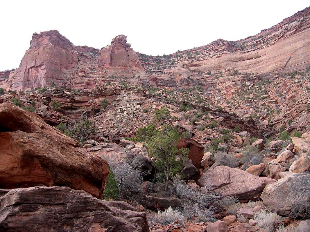
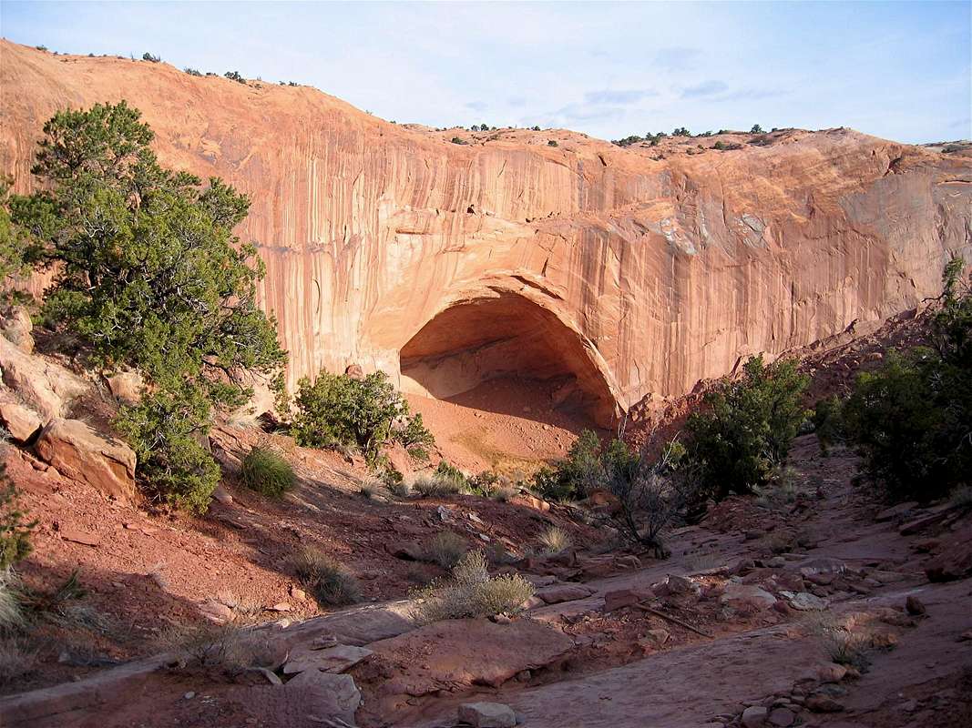
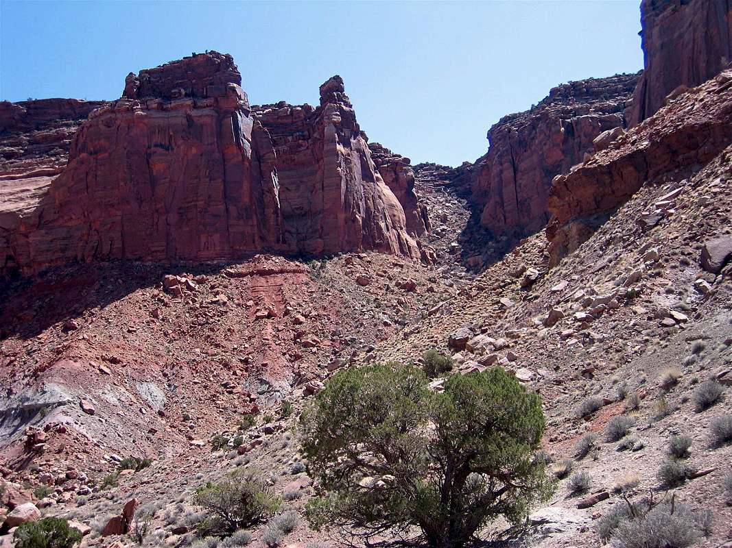
Hiking opportunities are endless. Falcon Guide's "Exploring Canyonlands & Arches National Parks" by Bill Schneider and National Geographic/Trails Illustrated "Canyonlands National Park. Needles and Island in the Sky" map (map # 210) provide excellent guides. Read the book or explore this vast expanse of the wilderness on your own. Most of the areas near the road are frequented by tourists but you can find perfect solitude if you get away from the road. Carry plenty of water. Summer temperatures do exceed 100 degrees F. Remember that on most long trips you will first descend into the canyons and at the end of the day will have to struggle your way back up the slopes. Below you will find a sample of some of the more popular hikes:
 Candlestick Tower Candlestick Tower |
| Mesa Arch | ||
 Whale Rock
 | ||
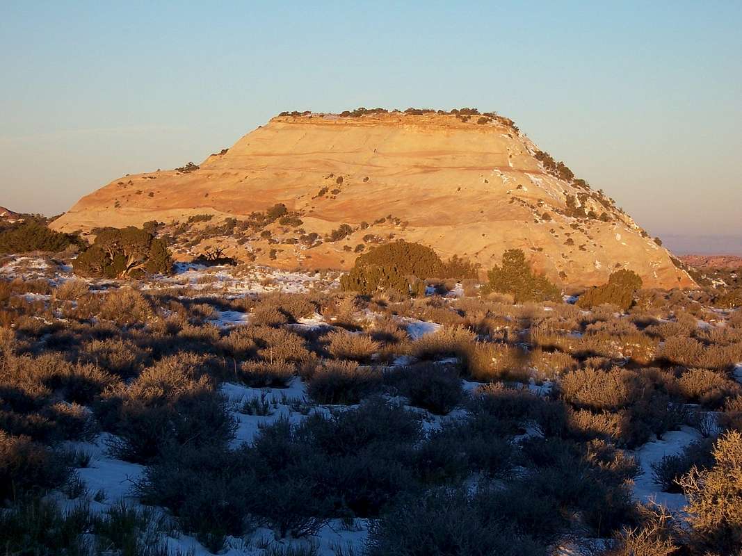 Aztec Butte
 | ||
| White Rim Overlook | ||
| Grand View | ||
 Fort Bottom
 | ||
 Gooseberry
 | ||
 Neck Spring
 | ||
 Upheaval Canyon
 | ||
 Syncline Loop
 | ||
 Murphy Basin Loop Murphy Basin Loop
| ||
 Acove Spring
 | ||
 Wilhite
 | ||
 Lathrop
 |
For rock climbing info see "Rock Climbing, Utah" by Stewart M. Green (or look under "view more info" for material added by John).
 |  |  |  |  |
Getting There
From the town of Moab in eastern Utah drive 10 mile north on Route 191 and turn west on Route 313. Park entrance is about 30 miles from Moab.Red Tape
For most day hikes there is no red tape except for the park entrance fee. There are lots of rules and regulations for multiday hikes, 4 wheel drivig and camping. Contact:Canyonlands National Park
2282 Southwest Resource Blvd.
Moab, Utah 84532
(435) 719-2313
Or go to www.nps.gov/cany/.
 |  |  |  |
When To Climb
Summer day time temperatures are in the 80-100 and above degrees F.Winter day time temperatures are 30-50 and night time temperatures are 0-20 degrees F. The best time to visit may be in spring when the temperatures are mild and the surrounding mountains are still covered with snow.
 |  |
John - Nov 20, 2002 11:13 pm - Hasn't voted
Untitled CommentHere's some additional background information on the history of rock climbing at the Island in the Sky from ClimbingMoab.com. Feel free to incorporate facts as you see fit. Bjornstad's Desert Rock I is a guidebook to check out (can't get Add a Book to work at the moment). It would be nice to get the names of some of the more famous routes here in the Overview.