

-
 25619 Hits
-
 91.75% Score
-
 36 Votes
|
|
Mountain/Rock |
|---|---|
|
|
48.70630°N / 113.638°W |
|
|
9365 ft / 2854 m |
|
|
Overview
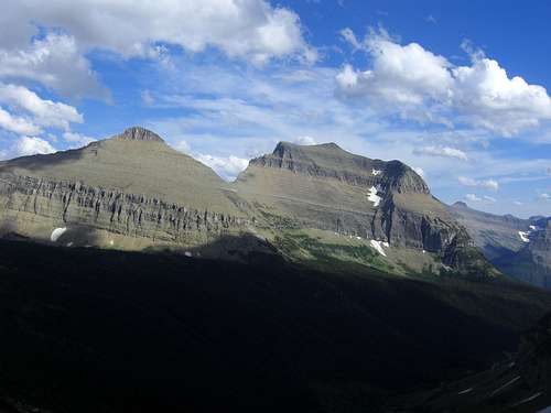
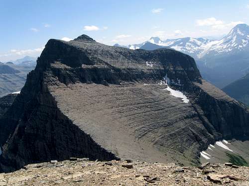
Matahpi and GTTS from the NW
Matahpi Peak dominates the southerly views of hikers enjoying the Preston Park area of Glacier National Park. Although Going-to-the-Sun Mountain overshadows views of Matahpi Peak for most park visitors, who simply drive to Logan Pass, this attractive pyramid sports a variety of enjoyable climbs and fantastic summit views.
Matahpi is frequently climbed in conjunction with an ascent of Going-to-the-Sun with the most common routes on each starting at the saddle between them. It is about 1,000 feet of vertical to the summit of Matahpi from the saddle and about 1,200 feet of vertical to GTTS. Total one-way distance to the Matahpi/GTTS saddle by the shortest route is around 3 miles with an elevation gain of a little over 2,500 feet.
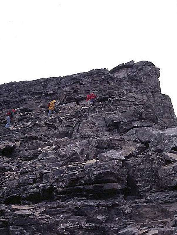
The route from the Matahpi/GTTS saddle is the South Slope or South Ridge. Other routes include the NE Route and the West Couloir. Note that the cliffs on the north and most of the west side of the summit block would involve Class 5 climbing, so for scramblers both of these other routes finish on the the south side.
Getting There
All the routes on the peak are accessed from the Siyeh Pass Trail. The trail head providing the shortest approach at Siyeh Bend on the Going to the Sun Road. This trail head and the first part of the trail are shared with the Piegan Pass Trail.A couple of other trail descriptions: Siyeh Pass Trail, Siyeh Pass Trail, and an SP page with a small peak destination Siyeh Pass to Point 8490
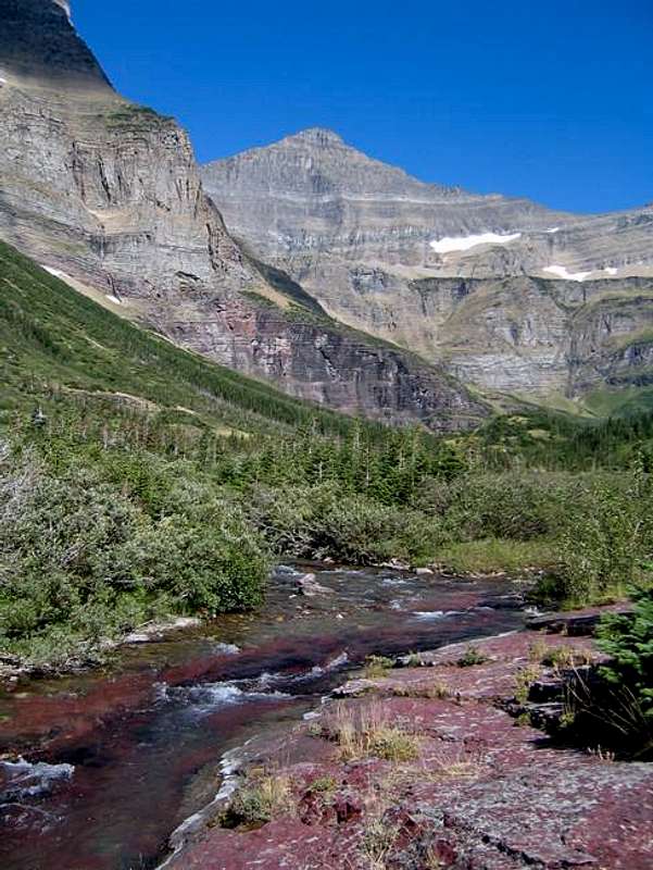
Additional Views of Matahpi
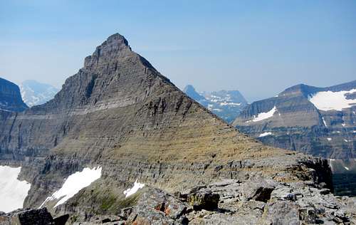
Matahpi Peak from the south (GTTS)
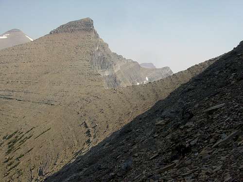
Matahpi Peak from low on the Northeast Ridge
Matahpi Peak from the east
Red Tape
You must pay to enter the Park. Current fees can be found through the NPS Glacier Park Page. Otherwise, there is no red tape.When To Climb
The peak is not intrinsically impossible to climb in the winter months. In fact, adequate snow coverage makes much of the approach over rotten rock easier. However, closure of Going-to-the-Sun Road adds 25 miles to any round trip climb. The obvious strategy would be to ski up Going-to-the-Sun Road. Extreme avalanche danger.Summit Views
Going-to-the-Sun Mountain from Matahpi
Matahpi Peak Summit view toward Logan Pass
Camping and Lodging
Camping and lodging information for inside the Park can be found through the NPS Glacier Park Page.Lodging outside the Park can be found in any of the small towns near the Park. There are also RV parks and campgrounds on both the east and west sides of the Park.
Mountain Conditions
- Weather information and webcams can be found through the NPS Glacier Park Page.
GLacier Park Climb Classification System
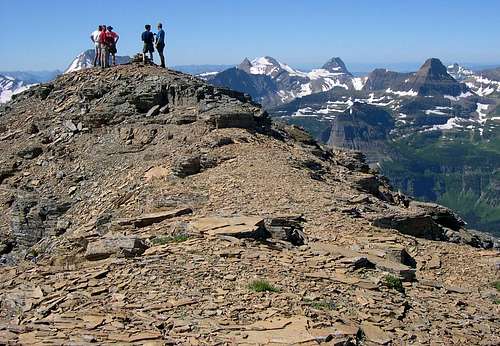
On the South Ridge Matahpi
The rock in Glacier National Park is not particularly good and there have been a couple of grading systems developed. A description of each can be found in this fact sheet:
Glacier National Park Rock & Grading Systems