
|
|
Mountain/Rock |
|---|---|
|
|
60.80226°N / 148.74776°W |
|
|
Anchorage |
|
|
Mountaineering |
|
|
4050 ft / 1234 m |
|
|
Overview
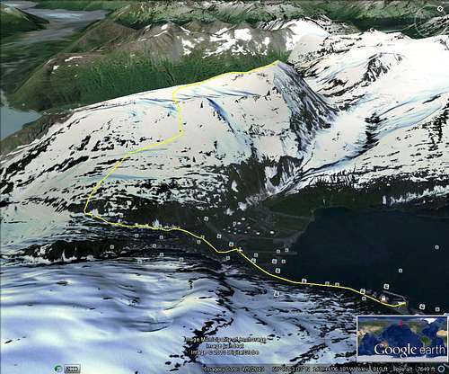
Google route trace
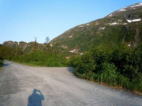
enroute to trailhead
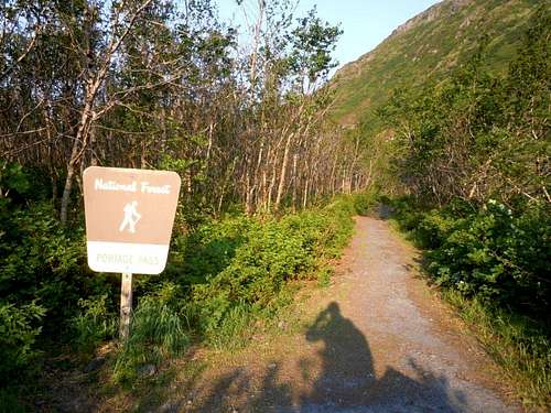
trailhead
Route
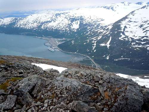
Whittier from base of snow fields
There is a sidewalk that runs along West Camp Road heading west toward the Anton Anderson Memorial Tunnel/Portage Glacier Hwy from the pier. Hike about 1 mile until you reach the first gravel road on your left. Turn onto that road and proceed to the next turnoff on your right which should have a sign that points toward the Portage Pass trailhead. The trailhead is by the end of this road and also has a sign indicating the trail is going to Portage Pass.
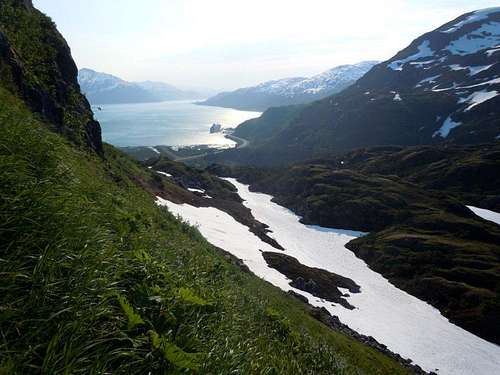
steep hillsides
Follow the Portage Pass trail for about 2/3 mile which is the vicinity of the pass and then look for an acceptable route on your right to climb up the steep hillside (~60 degrees).
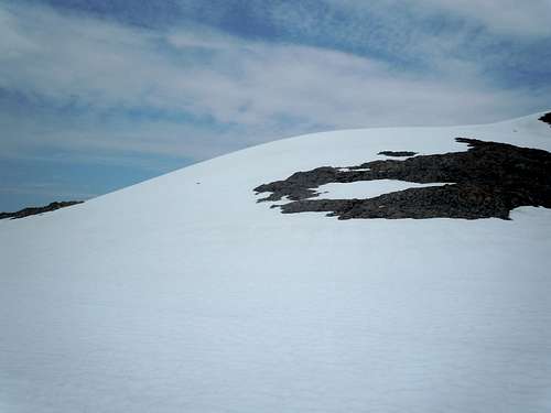
start of snowfields
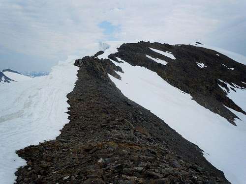
summit is at the end of a long ridge
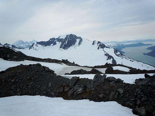
summit photo (view NE)
Once you climb a couple thousand feet you will probably run into snowfields which can be used to ascend most of the way to the summit if you follow the basic route I traced on Google Earth. Exercise caution along the ridge line as there were numerous cornices along the north side of the ridge. The hike along the ridge is otherwise non-technical and very enjoyable.
McCannster - Jul 6, 2013 1:27 pm - Voted 9/10
Title correctionShould be 'Maynard Mountain', instead of 'Mount Maynard'. Looks like a cool peak. I'd suggest cleaning up the formatting a little bit on the page, and I'll up my vote. -David
jimegan - Jul 6, 2013 2:12 pm - Hasn't voted
Re: Title correctionThanks for keeping me on course, more or less!!