Toggle navigation
Mountains
Routes
Images
Trip Reports
Forum
What's New
People
Areas & Ranges
Articles
Trailheads
Canyons
Huts & Campgrounds
Albums
Logistical Centers
Fact Sheets
Lists
Custom Objects
Gear
Plans & Partners
WELCOME TO SUMMITPOST
SIGN IN
REGISTER
Mount Pennell (UT)
Additional Parents
Image
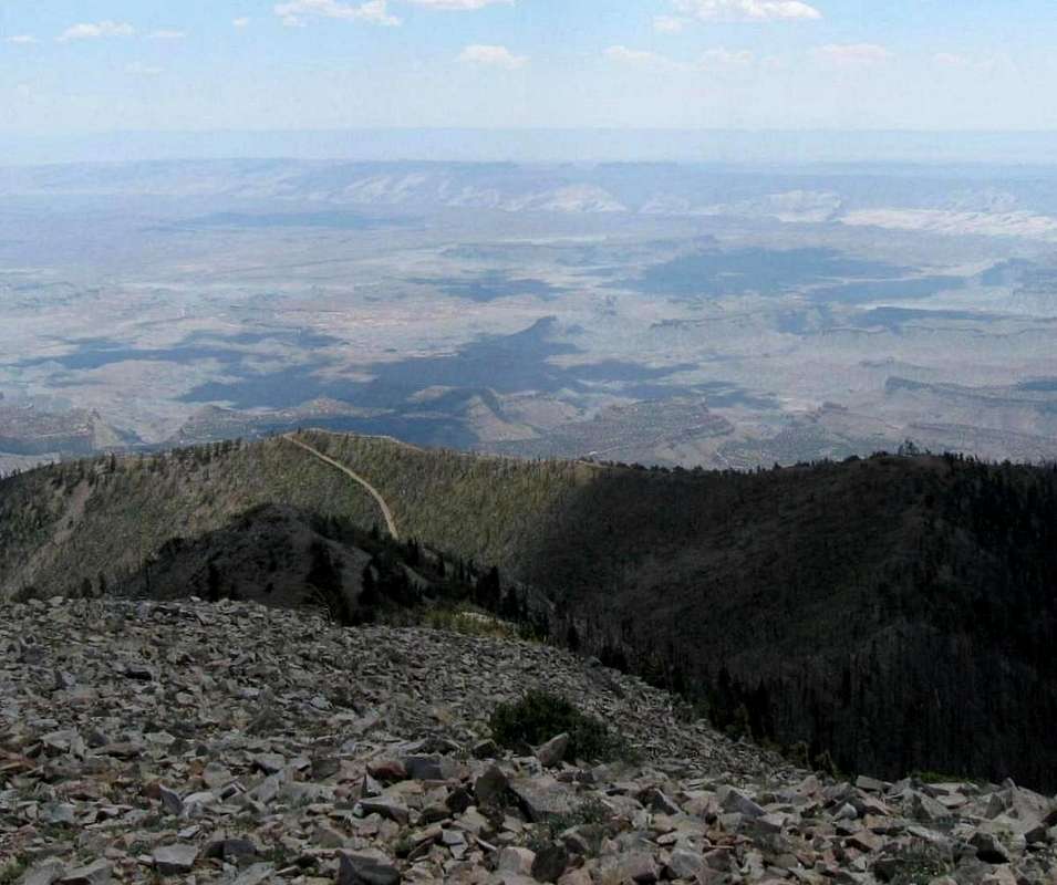
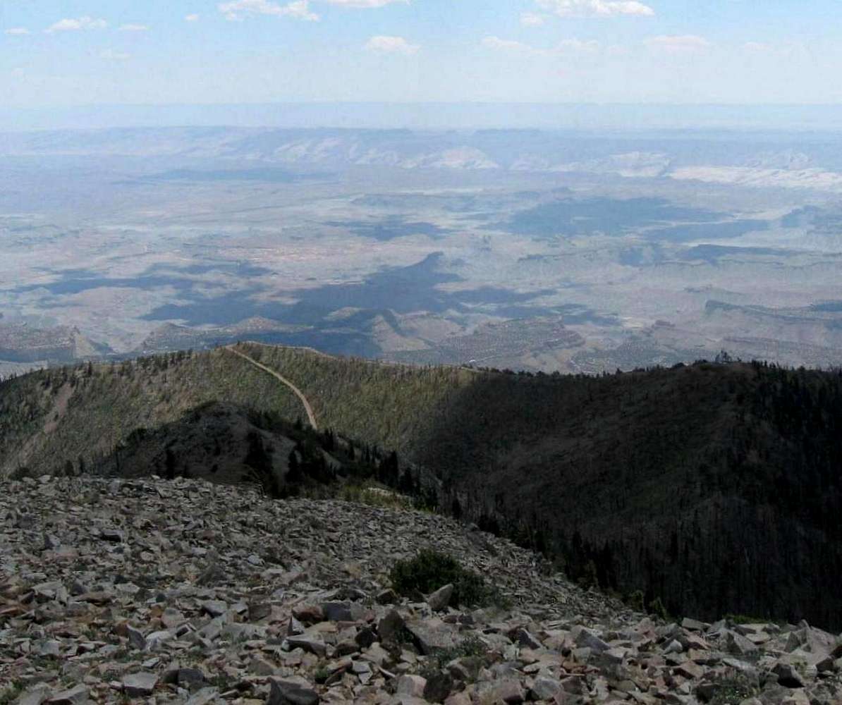
Looking down
View High-Resolution Image
Looking down
at the road that leads to the FAA facility complex. The road snakes along the top of the ridgeline and to the right of the pic you can make out the FAA station. The Capitol Reef Waterpocket fold can be seen in the distance. 7-8-08
« PREV
NEXT »
Dean
on
Sep 15, 2008 9:15 am
Comments & voting
Other parents
Image ID:
442909
1967 Hits
77.48
% Score
8
Votes
Log in to vote
Comments
No comments posted yet.
to post!
Don't have an account?
Mount Pennell (UT)
(Mountain/Rock)
« PREV
Viewing
#12 of 38
GALLERY
NEXT »
Dean's Image Gallery
« PREV
Viewing
#2523 of 7927
GALLERY
NEXT »
×
You need to login in order to vote!
User Name
Password
Remember me
Forgot your password?
Log me out when I close my browser.
Keep me logged in all the time.
sign in as a user
Don't have an account?
Register now for FREE
Rating available
Suggested routes for you
People who climb the same things as you
Comments Available
Create Albums
Register Here


