Toggle navigation
Mountains
Routes
Images
Trip Reports
Forum
What's New
People
Areas & Ranges
Articles
Trailheads
Canyons
Huts & Campgrounds
Albums
Logistical Centers
Fact Sheets
Lists
Custom Objects
Gear
Plans & Partners
WELCOME TO SUMMITPOST
SIGN IN
REGISTER
Grays Peak
Additional Parents
Image
Looking back at what we...
View High-Resolution Image
Looking back at what we...
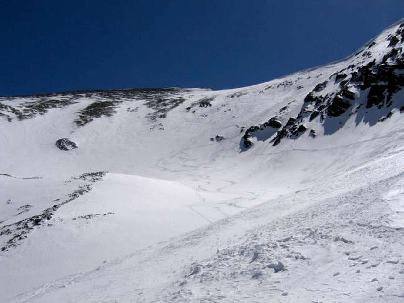
Looking back at what we climbed and skied down! We skied 4 miles total!!!...From the top of Gray's to where the snow ended on the road below the trailhead!!!
« PREV
NEXT »
powderdreams
on
Aug 17, 2005 3:35 pm
Comments & voting
Other parents
Lat/Lon:
39.63390°N / 105.8169°W
Image ID:
120995
1406 Hits
74
% Score
4
Votes
Log in to vote
Comments
No comments posted yet.
to post!
Don't have an account?
Grays Peak
(Mountain/Rock)
« PREV
Viewing
#87 of 285
GALLERY
NEXT »
powderdreams's Image Gallery
« PREV
Viewing
#2 of 14
GALLERY
NEXT »
×
You need to login in order to vote!
User Name
Password
Remember me
Forgot your password?
Log me out when I close my browser.
Keep me logged in all the time.
sign in as a user
Don't have an account?
Register now for FREE
Rating available
Suggested routes for you
People who climb the same things as you
Comments Available
Create Albums
Register Here


