Toggle navigation
Mountains
Routes
Images
Trip Reports
Forum
What's New
People
Areas & Ranges
Articles
Trailheads
Canyons
Huts & Campgrounds
Albums
Logistical Centers
Fact Sheets
Lists
Custom Objects
Gear
Plans & Partners
WELCOME TO SUMMITPOST
SIGN IN
REGISTER
Maladeta, Pico de la
Additional Parents
Image
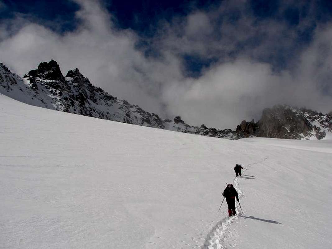
In the glacier of Maladeta
View High-Resolution Image
In the glacier of Maladeta
Walking to the end of
glacier of Maladeta
in direction to coulouir to
Col of la Rimaya
under the ridge north of
Maladeta
. April 22, 2006.
« PREV
NEXT »
Rafa Bartolome
on
Apr 26, 2006 9:34 pm
Comments & voting
Other parents
Lat/Lon:
42.74628°N / 0.64155°E
Image Type(s):
Alpine Climbing
,
Bouldering
,
Aid Climbing
,
Hiking
,
Skiing
,
Wildlife
,
Flora
,
Topo/Diagram
,
Informational
,
Scenery
,
Panorama
Image ID:
190709
2754 Hits
73.06
% Score
3
Votes
Log in to vote
Comments
No comments posted yet.
to post!
Don't have an account?
Maladeta, Pico de la
(Mountain/Rock)
« PREV
Viewing
#15 of 32
GALLERY
NEXT »
Rafa Bartolome's Image Gallery
« PREV
Viewing
#1867 of 6100
GALLERY
NEXT »
×
You need to login in order to vote!
User Name
Password
Remember me
Forgot your password?
Log me out when I close my browser.
Keep me logged in all the time.
sign in as a user
Don't have an account?
Register now for FREE
Rating available
Suggested routes for you
People who climb the same things as you
Comments Available
Create Albums
Register Here


