
In l July 1974, I was able to...
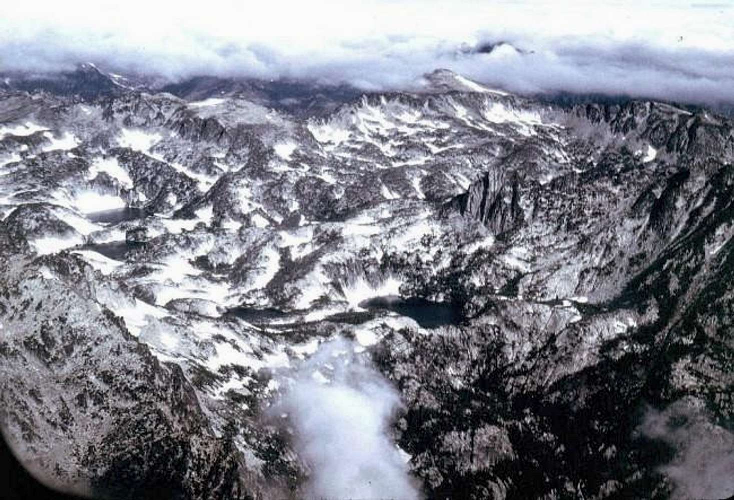
In l July 1974, I was able to fly around the whole Mt.Stuart / Enchantment area in a small plane. This pics shows the following:
McClellan Peak's south side shows up in the lower left of this pic. Prussik Peak is the triangular mountain in the center of the pic. Lakes from left to right - Talisman (Inspiration), Rune (perfection) Leprechaun, Viviane and at the far right is Naid (Temple) lakes. Cannon Mtn. is at the top of the pic, almost obscured by the clouds. Picture was taken through a plexiglass airplane window and then scanned from slide to digital. No photo can capture the awesomeness of flying over this area and being able to pick out all the different landmarks.


