

Viewing: 1-2 of 2

RyanS - Dec 2, 2004 1:12 pm - Voted 10/10
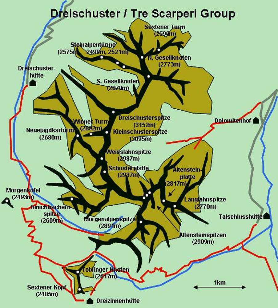
hand-drawnYou do a great job with these hand-drawn maps! What's your secret? :-D

Gangolf Haub - Dec 2, 2004 2:10 pm - Hasn't voted
Re: hand-drawnYou need to have an underlying map, of course. I usually import a map to Powerpoint and try to follow the ridges, the timberlines and so on. If it is already a schematic map, the drawing is obviously easier. If you have a common topographic hiking map (like the maps on topozone) things get more difficult. You need to guess the ridgelines, passes, everything. In the end you add the hiking trails, delete the original map, et voilà!
The maps are not intended for hiking, just to give an overview about what you are reading about. I may have invented the technique but Vid and Bor seem to have perfected it for their Julian Alps maps.
Viewing: 1-2 of 2


Comments
Post a Comment