Comments
No comments posted yet.

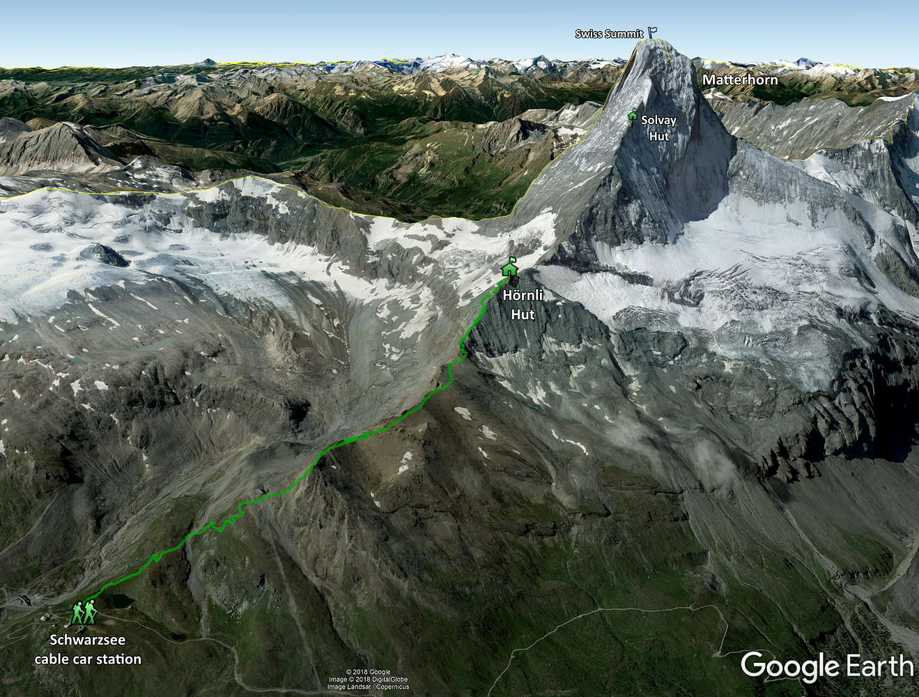
The approach hike to the Matterhorn's Hörnli Hut from the Schwarzsee cable car station.
This view is looking roughly south. That yellow line supplied by Google Earth is the boarder with Italy which literally runs across the summit of the Matterhorn.
The GPS track is from my Garmin GPSMAP 64s handheld GPS unit.


