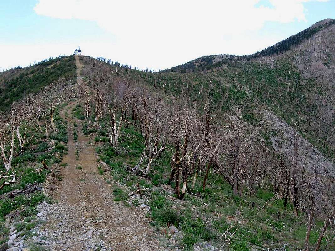
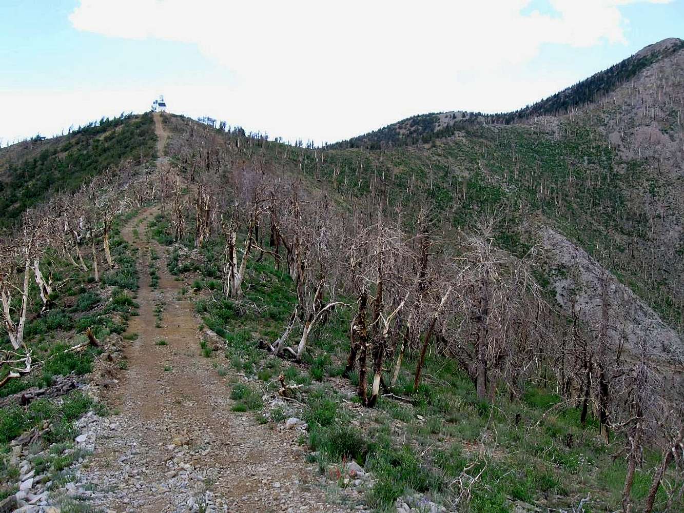
As you ascend the road from the 8000' level, you hike through a forest that has been 90% burned by the fire that hit this area in 2006 (lightning) and
even at this highest section of the FAA road (seen in the background, kinda)
you can see the damage wrought by the fire. The summit of Mt. Pennell can be seen to the right of this pic.
7-8-08


