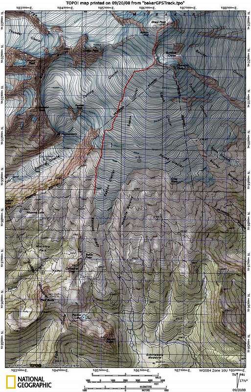
The red route is our 7/7/7 GPS track from camp to the crater rim. The dotted red route is our approximate route from the rim to the summit. We followed the trail from Schreiber's Meadow, and got on snow near the top of the switchbacks. The railroad grade trail was almost melted out, and we set up camp on snow around 5900'.
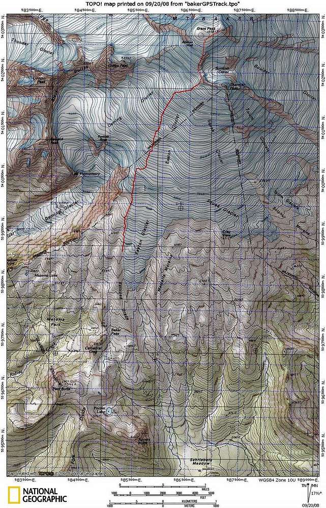
Here's a
picture with the route sketched in. The GPS track looks more direct, and it's a little difficult to compare what the approach looks like in early July compared to early Oct.


