Toggle navigation
Mountains
Routes
Images
Trip Reports
Forum
What's New
People
Areas & Ranges
Articles
Trailheads
Canyons
Huts & Campgrounds
Albums
Logistical Centers
Fact Sheets
Lists
Custom Objects
Gear
Plans & Partners
WELCOME TO SUMMITPOST
SIGN IN
REGISTER
Teakettle Mountain
Additional Parents
Image
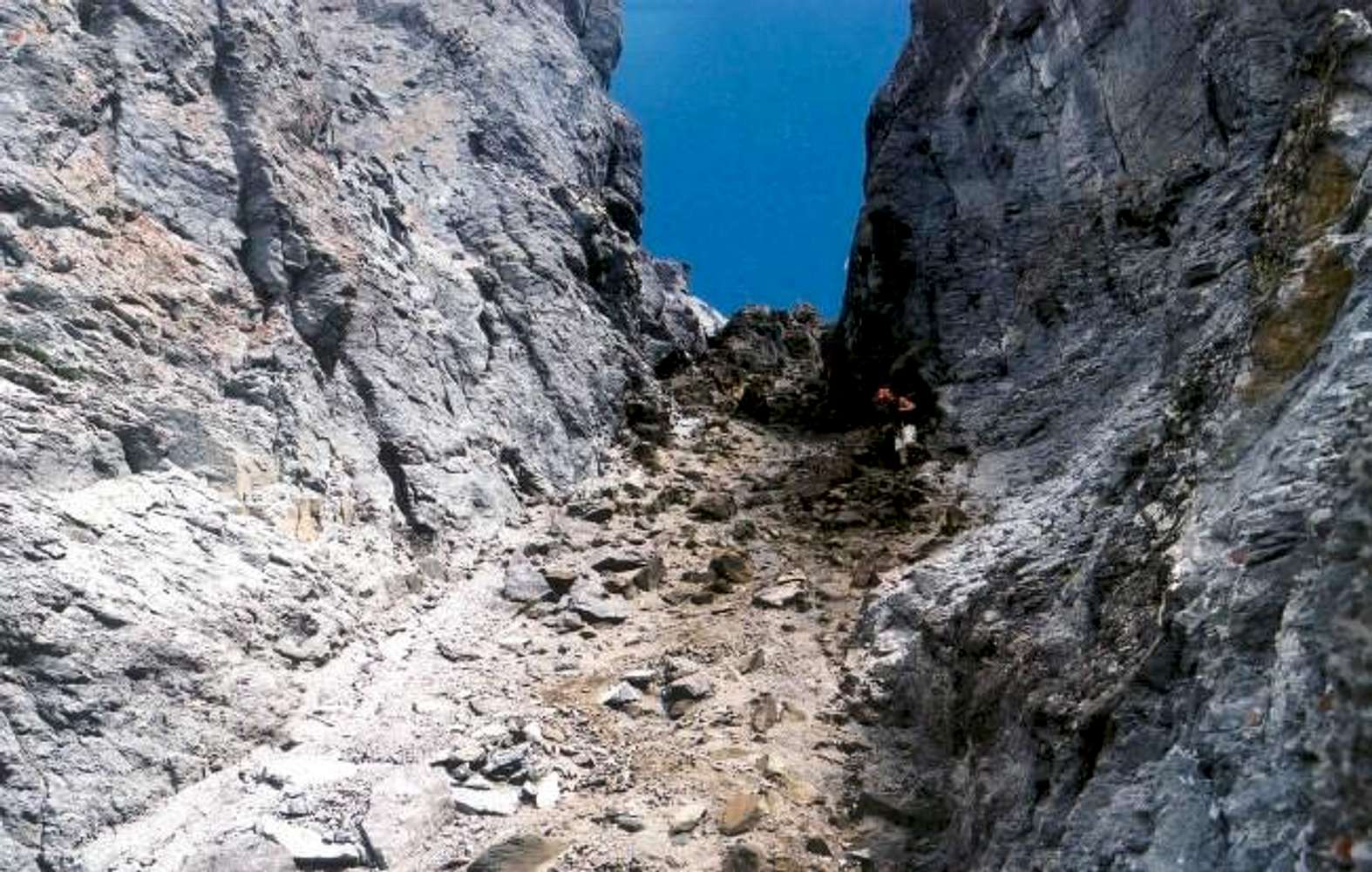
Descending the extremely...
View High-Resolution Image
Descending the extremely...
Descending the extremely loose Black Gully that is a key to approaching the upper summit-block on the Southeast Ridge route. -courtesy of Kirk Mallory (08/10/03)
« PREV
NEXT »
Ryan Kowalski
on
Mar 29, 2004 11:49 am
Comments & voting
Other parents
Lat/Lon:
38.00080°N / 107.7617°W
Image ID:
47661
4760 Hits
81.04
% Score
13
Votes
Log in to vote
Comments
No comments posted yet.
to post!
Don't have an account?
Teakettle Mountain
(Mountain/Rock)
« PREV
Viewing
#24 of 95
GALLERY
NEXT »
Ryan Kowalski's Image Gallery
« PREV
Viewing
#15 of 95
GALLERY
NEXT »
Southeast Ridge 5.3
(Route)
Loading....
×
You need to login in order to vote!
User Name
Password
Remember me
Forgot your password?
Log me out when I close my browser.
Keep me logged in all the time.
sign in as a user
Don't have an account?
Register now for FREE
Rating available
Suggested routes for you
People who climb the same things as you
Comments Available
Create Albums
Register Here


