
FrabjousOne - Apr 10, 2012 6:24 pm - Hasn't voted
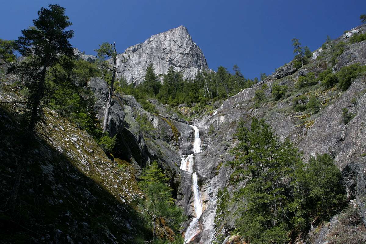
Off the mapDid you reach this point by following up Root Creek from below or by cutting over from the main Crags trail to Castle Dome? Thanks.

Bubba Suess - Apr 15, 2012 11:56 am - Hasn't voted
Re: Off the mapThe easiest way to get there is from the Root Creek Trail. If you cut over from the Crags Trail, you run the risk of climbing too high above the falls. Basically, take the Root Creek Trail until it dead ends at the creek. From there, there is a very faint use trail on the south side of the creek that leads to the view point. I thought about posting a page on the trail, but I haven't thought there would be much interest in it...
sher62 - Oct 30, 2012 5:33 pm - Hasn't voted
Re: Off the mapMy brother works for US Forest Service. They are working on the Root Creek trail until end of Nov. So visit before public gets there. My friend whom I have known since 1956 used to swim here. He has a beautiful black and white picture. He is now in a rest home. :-( So I will get my own pics.


Comments
Post a Comment