Viewing: 1-1 of 1
garyb - Sep 2, 2008 2:21 pm - Hasn't voted
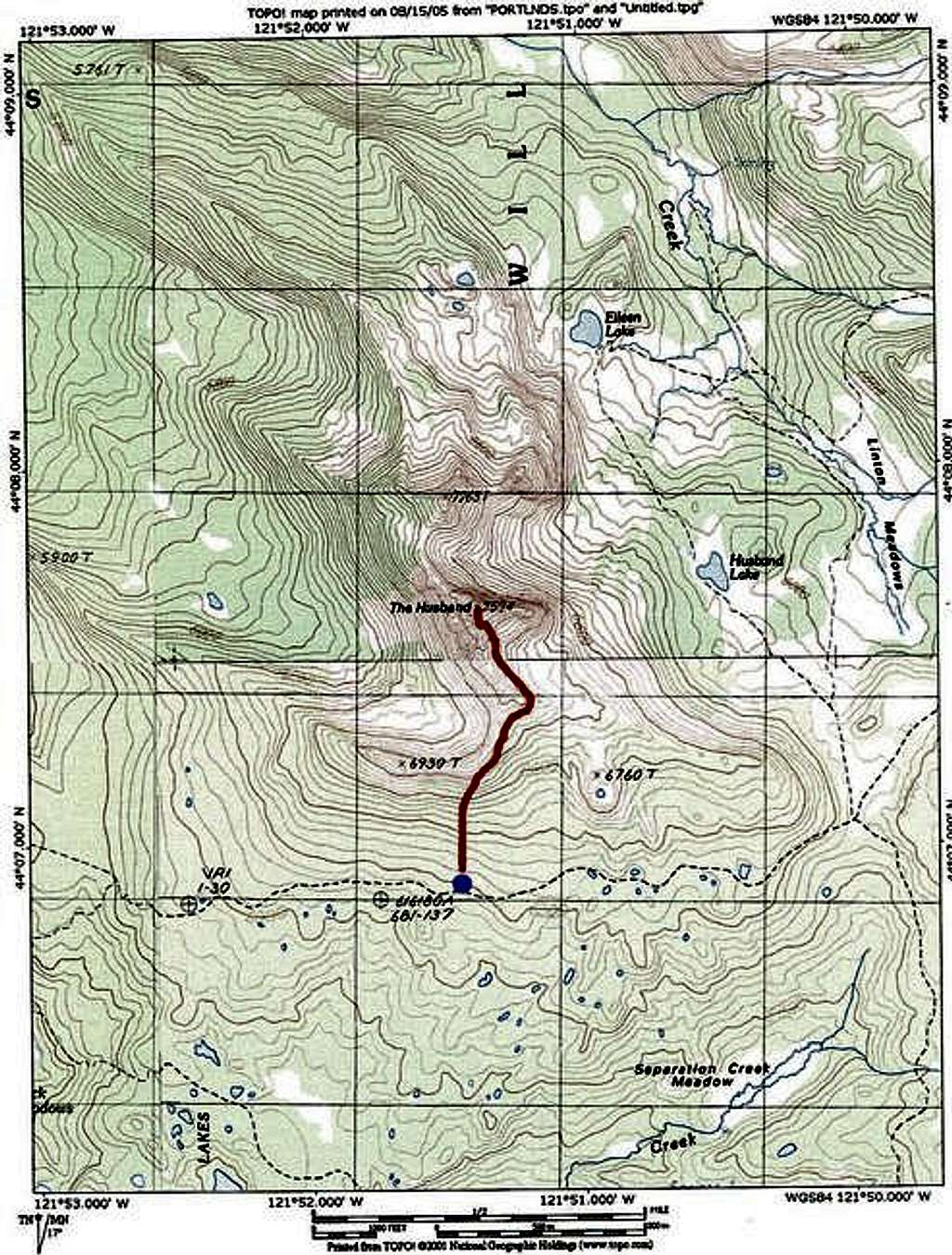
Trail ProblemThe Foley Ridge trail 3511 was hit hard by a wind storm in late 2007. As of 8/29/08, there is about a 2 mile stretch of downed trees as far as the eye can see that obliterates the trail and requires great difficulty to traverse. It added several hours to our our round trip time. The criss-crossed logs begin about a half mile West of the Substitute Point trail junction.
Viewing: 1-1 of 1


Comments
Post a Comment