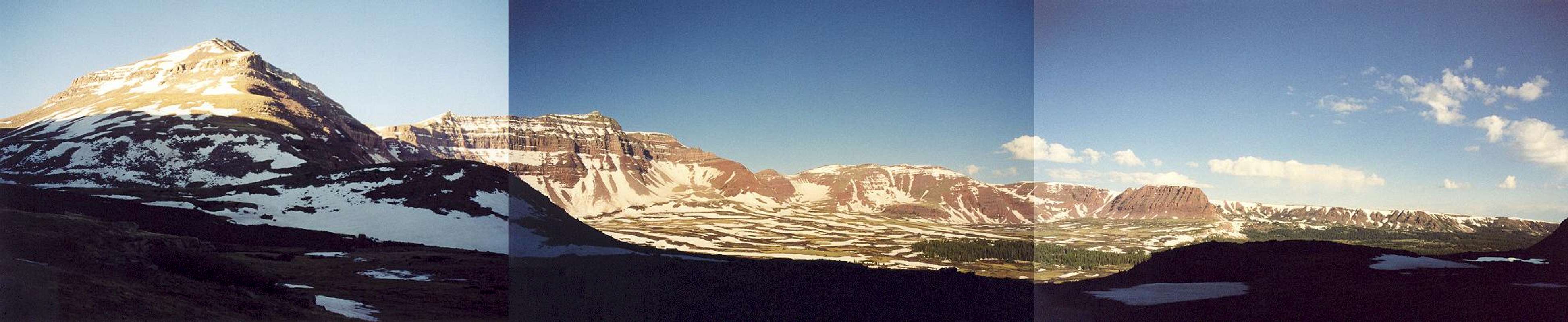
A panorama of upper Henrys Fork Basin while on the trail to Gunsight Pass. For a larger image, click
here. West Gunsight Peak is in the left panel; Henrys Fork Peak and Mt. Powell are in the middle panel; and Flat Top Mountain is in the right panel. June 2002.


